
Property tracer
Trace your property on a map
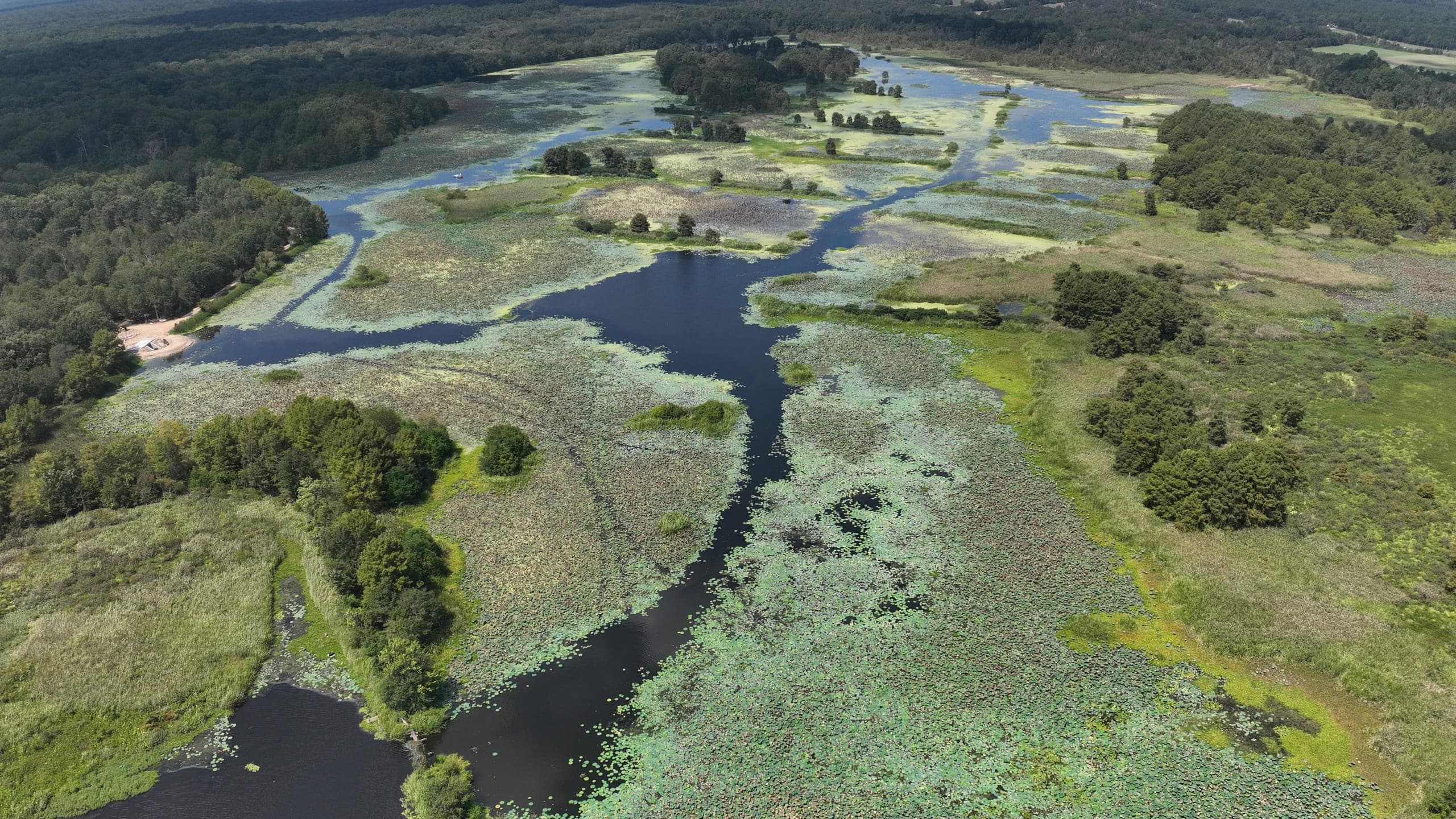
Find your place on satellite imagery, tap out the edge of the area you want treated, and the tool works the acreage out from the shape you draw. Trace as many parcels as you need and name each one, so we know which pond, pasture, or shoreline you mean.
When you choose “Use this trace,” the boundary, the acreage, and a map image go to our contact form so you can finish the request. Nothing reaches us until you press Send there. No account, no sign-in, and it works on a phone.
Loading the map…